Publications (page 2)
PUBLICATION DATE: April 18, 2022
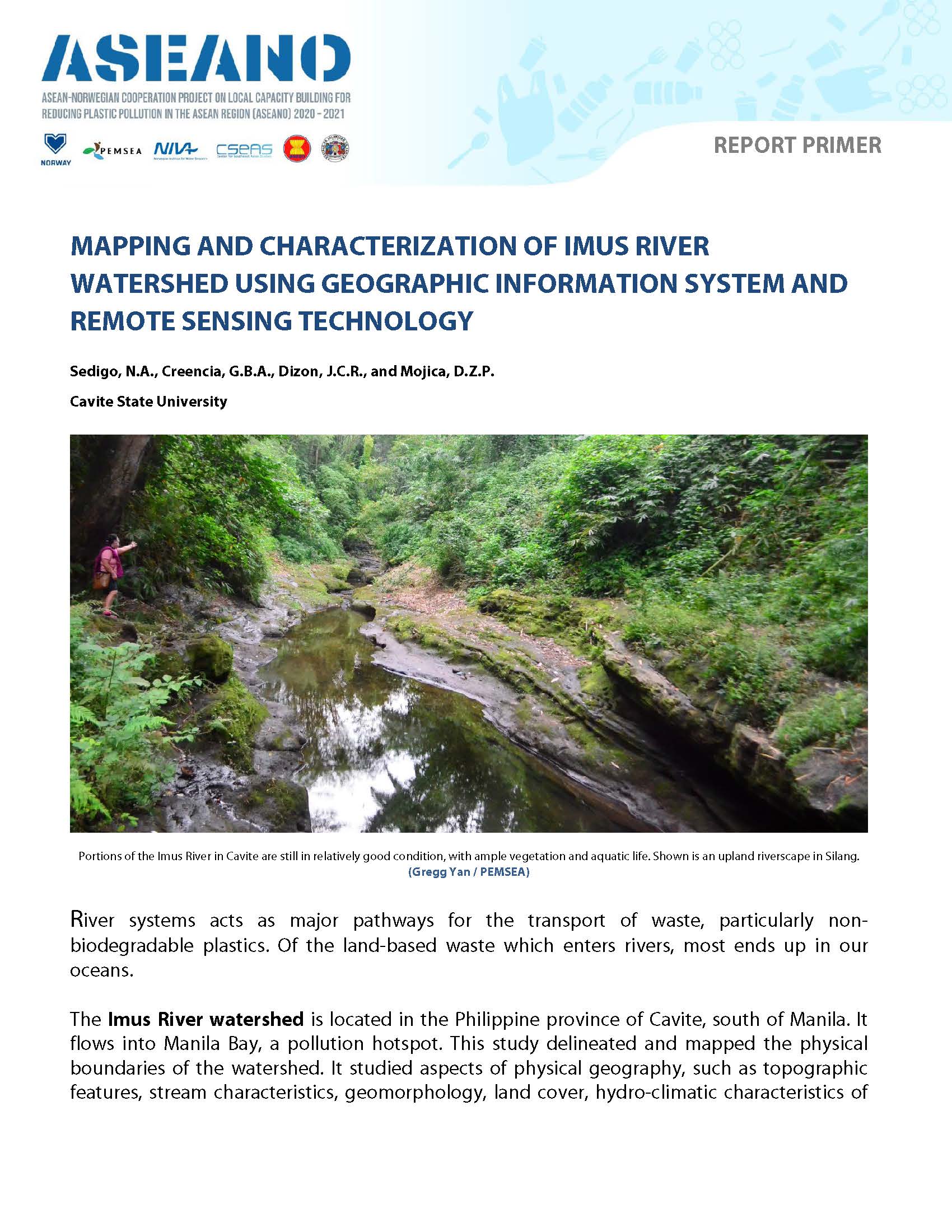
DESCRIPTION: Both primary and secondary data sources were used to make comprehensive land use maps, population maps, and hydro-climatic data analyses. The boundary of the Imus River watershed was established using a digital elevation model of the province of Cavite in ArcGIS. Sangley Point Synoptic Station in Cavite and the CvSU-PAGASA Agrometeorological Station in Indang were used to assess the general hydro-climatic condition of IRW due to their close proximity to the watershed.
PUBLICATION DATE: April 19, 2022
DESCRIPTION: River systems have been identified as major pathways and transporters of wastes, including plastics, that ultimately end up in the oceans. The Imus River Watershed (IRW) is located in the Philippine Province of Cavite, one of the provinces in the CALABARZON Region of southern Luzon. This study delineated and mapped the physical boundaries of the Imus River watershed and determined the topographic features, stream characteristics, geomorphology, political subdivisions, barangay communities, population distribution, land use and land cover, and hydro-climatic characteristics of the watershed. Both primary and secondary data sources were used in making comprehensive land use maps, population maps, and hydroclimatic data analyses.
PUBLICATION DATE: April 18, 2022
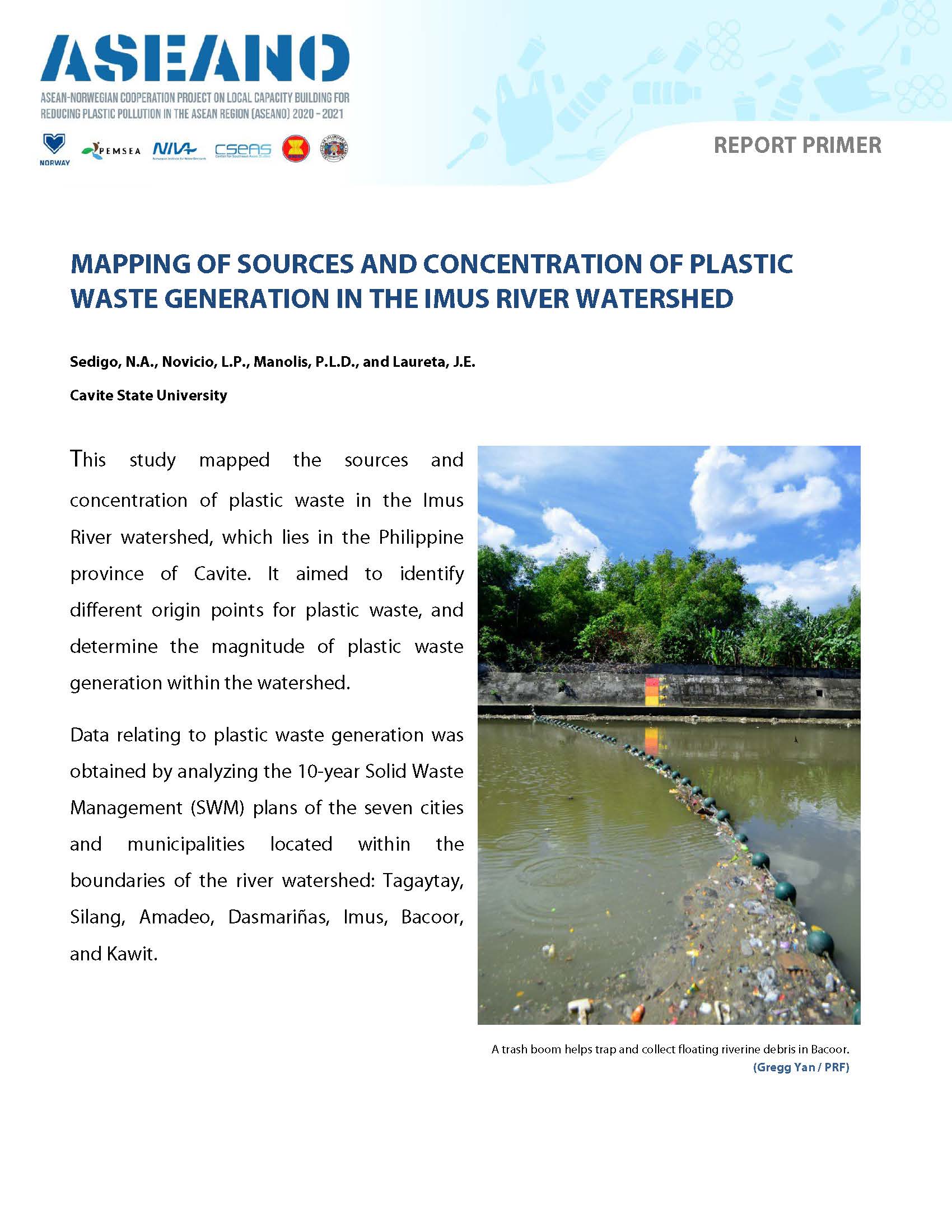
DESCRIPTION: This study mapped the sources and concentration of plastic waste in the Imus River watershed, which lies in the Philippine province of Cavite. It aimed to identify different origin points for plastic waste, and determine the magnitude of plastic waste generation within the watershed. A seven-day waste characterization study in three selected barangays was conducted to determine the average amount of plastic waste generated per household.
PUBLICATION DATE: April 19, 2022
DESCRIPTION:The sources of plastic wastes and areas of expected high levels of plastic waste generation were mapped in the Imus River Watershed in the Province of Cavite, in the Philippines. Different sources of plastic waste were identified, and used to estimate the magnitude of plastic waste generation. Information on the major sources of plastic waste were obtained from the 10-Year Solid Waste Management Plan of the seven cities and municipalities located within the boundaries of the watershed. Remote sensing technology was used to identify the coordinates of different potential sources. For higher resolution, Google Imagery was used in preparing base maps which were imported and georeferenced in ArcMap. A 7-day waste characterization study in three selected barangays was conducted to determine the average amount of plastic waste generated per household. This data served as inputs for a hotspot analysis in ArcGIS to identify plastic waste generation hotspots within the watershed. The Imus River system traverses seven cities and municipalities that include parts of Tagaytay City, Silang, and Amadeo in the upland areas, a large part of the densely populated and urbanized cities of Dasmariñas and Imus City in the central hilly areas, and portions of the lowland City of Bacoor and the coastal Municipality of Kawit. It has a total drainage area of 11,259.80 hectares. A total of 222 barangay communities were identified within the boundaries of the watershed with a total population of 1,351,057. The major sources of waste in the watershed were primarily households, followed by commercial, institutional, and industrial establishments. The total number of commercial, institutional, and industrial establishments identified was 778, and a total of 54 waste storage facilities were found in the watershed. From the 7-day characterization study in three selected barangay communities, an average of 113.03 kg of plastics was generated daily by the households in Barangay Burol 1, Dasmariñas City; 9.17 kg/day in Barangay Mabolo 1, Bacoor City; and 29.29 kg/day in Barangay Maitim 2nd Central, Tagaytay City. An average of 0.17 Kg/day per household of plastics were generated in the watershed and 0.05 Kg/day per capita. A cluster of high plastic waste generating barangays was identified in Dasmariñas City, where various tributaries of the Imus River converge. This combination is likely to create a significant hotspot for waste leakage. Clusters of low plastic waste generating barangays were identified in parts of Imus, Kawit, and Bacoor. These cold spots should not be ignored, as increasing plastic waste generation could exceed capacity and push them into future leakage hotspots.
PUBLICATION DATE: April 18, 2022
DESCRIPTION: This study targeted communities along the Imus River, one of six major water sources in the province of Cavite, a rapidly-developing province south of Manila. It determined the stakeholders’ knowledge, attitude and practices related to plastic pollution problems including the impact, management and the communities’ reasons for using plastic products. It assessed the economic value of the river by identifying and analyzing economic benefits like employment, livelihood, plus goods and services derived from the river. Lastly, it determined the ability to pay and willingness to pay of the selected communities dependent on the river for people’s daily needs.
PUBLICATION DATE: April 19, 2022
DESCRIPTION:This study tackles the Imus River, one of the six major river systems in the province of Cavite. The main river is 38.4 kilometers long and stretches from Tagaytay City in the northern upland region, through the municipality of Silang, the cities of Dasmariñas, Imus, and Bacoor, and lastly the lowland areas of Bacoor and the municipality of Kawit, where it empties into Bacoor Bay. Within these cities/municipalities are barangays that find the river useful for domestic, tourism, and industrial purposes. DLSU-D surveyed different stakeholders (households, LGUs, and households with small businesses) in 14 selected barangays in the five cities/municipalities (Silang, Dasmariñas City, Imus City, Bacoor City, and Kawit) located along the Imus River. This study determined the stakeholders’ knowledge, attitudes, and practices (KAP) related to plastic pollution problems including its impact, management, and their reasons for using plastic. It also assessed the economic value of the river to the community by identifying and analyzing economic benefits like employment, livelihood, goods, and services derived from the Imus River. Lastly, it determined the Ability to Pay (ATP) and Willingness to Pay (WTP) for better waste and pollution management of the selected communities dependent on the river for their day-to-day needs. Both quantitative and qualitative data were obtained for the study through surveys and interviews. Recommendations for a community-based plastic waste management program were made based on the collected data on KAP, ATP, and WTP of different stakeholders.
PUBLICATION DATE: July 1, 2020
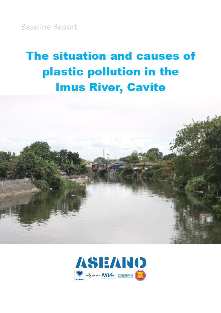
DESCRIPTION: This Baseline Report is part of the ASEANO Project. It assesses current knowledge and plastic practices within Cavite and the LGUs along the Imus River.
PUBLICATION DATE: April 14, 2020
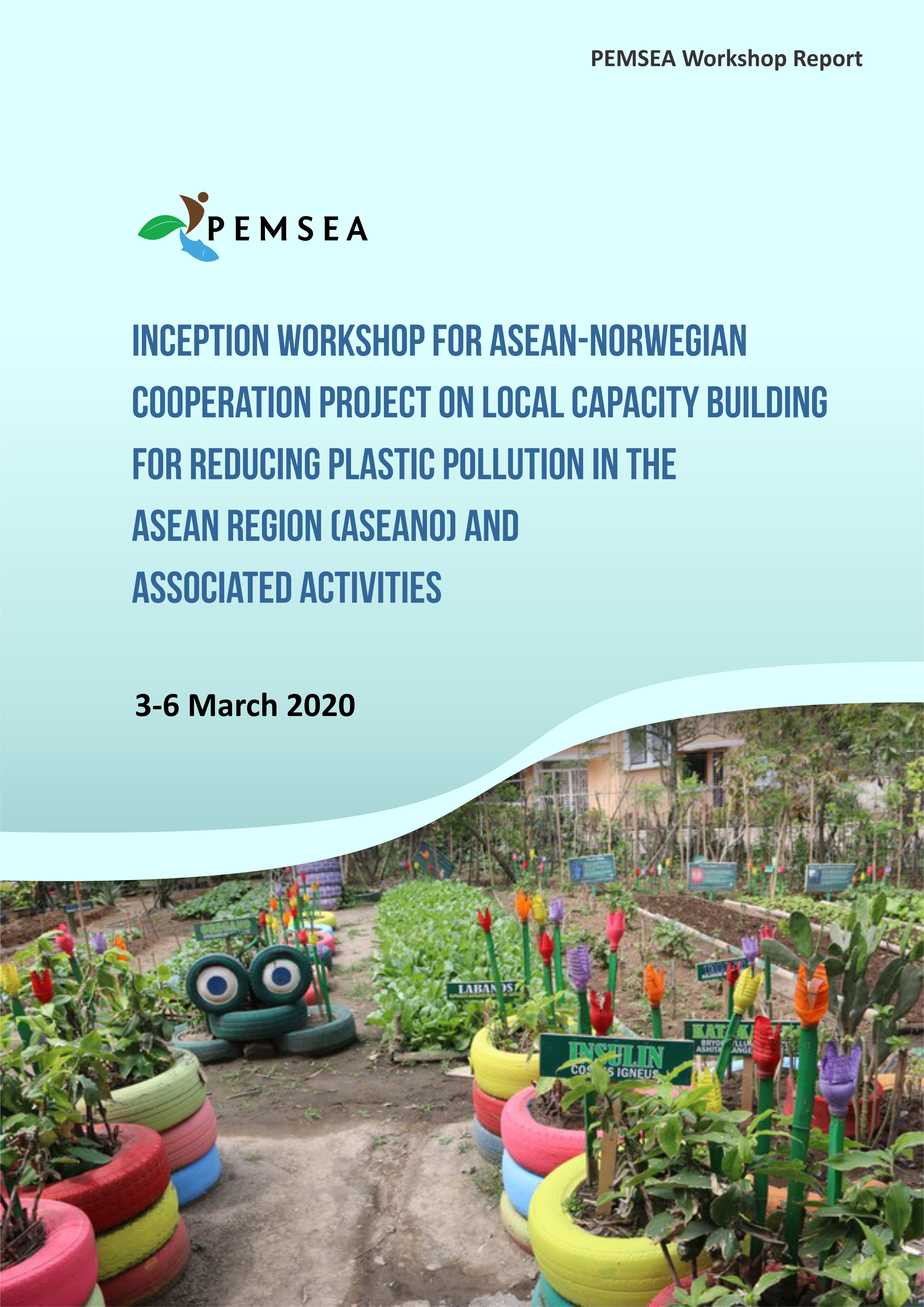
DESCRIPTION: Representatives from PEMSEA, NIVA, and CSEAS undertook a trip to Cavite, Philippines, facilitated by Cavite PG-ENRO, to study the proposed pilot site for the Philippine sub-component of the ASEANO project, to meet relevant stakeholders, and to launch the sub-component through an inception workshop with relevant stakeholders from the city of Dasmariñas and nearby areas. During two days of site visits, various sites along the river were visited and documented, and local stakeholders including politicians and academe representatives were met. These visits allowed the project team to obtain a better picture of existing waste reduction efforts along the Imus river. For the river, the project team observed an expected increase in pollution levels as the river moved downstream, and observed numerous areas of waste accumulation and points of waste entry into the river. The university stakeholders, Cavite State University and De La Salle University Dasmariñas, expressed great support for the project and are enthusiastic about becoming involved in the research component of the project. Local politicians were also supportive, and referred us to their various material recovery schemes, which across different jurisdictions performed similar material recovery including producing biogas, recycling plastic into new products such as bags and ecobricks, and creating charcoal. The Inception Workshop held on 5th March brought together stakeholders and interested parties with the dual aims of introducing these parties to the project and providing an opportunity for the project team to ask questions of these individuals. Local inputs and recommendations were sought on a number of different topics, and these inputs will be used to guide the project going forwards. A project team meeting comprising of core representatives from Cavite, PEMSEA, NIVA and CSEAS, was held to reflect on the learnings of the previous days and chart the way forward for the Philippine sub-component. Existing information will be compiled into a background report on the Imus river, which will be included as a section within the overall ASEANO project’s baseline report. Further smaller meetings and discussions are expected over the coming months, and future inperson meetings are expected around the middle of the year.
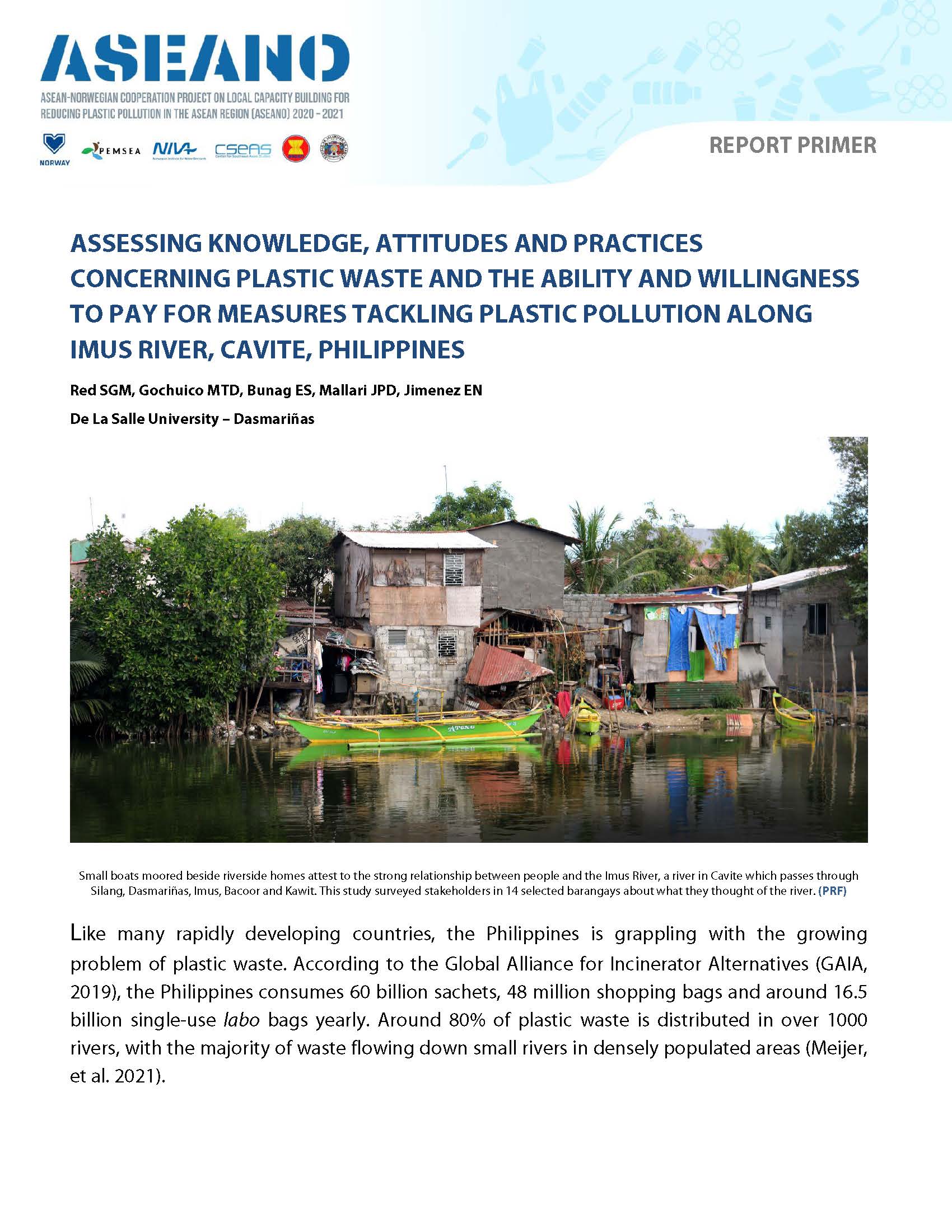
This study targeted communities along the Imus River, one of six major water sources in the province of Cavite, a rapidly-developing province south of Manila. It determined the stakeholders’ knowledge, attitude and practices related to plastic pollution problems including the impact, management and the communities’ reasons for using plastic products. It assessed the economic value of the river by identifying and analyzing economic benefits like employment, livelihood, plus goods and services derived from the river. Lastly, it determined the ability to pay and willingness to pay of the selected communities dependent on the river for people’s daily needs.
The study investigates the socioeconomic implications of plastic waste pollution mitigation initiatives along the Imus River, which traverses the Philippine province of Cavite. It explores initiatives identified by local communities on plastic waste management and examines how these initiatives are managed and implemented. It also describes the various communities’ culturally nuanced understanding of plastic waste management as well and its implications to them as Cavite residents. It is based on reports commissioned by the ASEANO project to help Local Government Units (LGUs) better understand the plastics pollution problem and develop practical and enforceable solutions.
Representatives from PEMSEA, NIVA, and CSEAS undertook a trip to Cavite, Philippines, facilitated by Cavite PG-ENRO, to study the proposed pilot site for the Philippine sub-component of the ASEANO project, to meet relevant stakeholders, and to launch the sub-component through an inception workshop with relevant stakeholders from the city of Dasmariñas and nearby areas.
During two days of site visits, various sites along the river were visited and documented, and local stakeholders including politicians and academe representatives were met. These visits allowed the project team to obtain a better picture of existing waste reduction efforts along the Imus river. For the river, the project team observed an expected increase in pollution levels as the river moved downstream, and observed numerous areas of waste accumulation and points of waste entry into the river. The university stakeholders, Cavite State University and De La Salle University Dasmariñas, expressed great support for the project and are enthusiastic about becoming involved in the research component of the project. Local politicians were also supportive, and referred us to their various material recovery schemes, which across different jurisdictions performed similar material recovery including producing biogas, recycling plastic into new products such as bags and ecobricks, and creating charcoal.
The Inception Workshop held on 5th March brought together stakeholders and interested parties with the dual aims of introducing these parties to the project and providing an opportunity for the project team to ask questions of these individuals. Local inputs and recommendations were sought on a number of different topics, and these inputs will be used to guide the project going forwards.
A project team meeting comprising of core representatives from Cavite, PEMSEA, NIVA and CSEAS, was held to reflect on the learnings of the previous days and chart the way forward for the Philippine sub-component. Existing information will be compiled into a background report on the Imus river, which will be included as a section within the overall ASEANO project’s baseline report. Further smaller meetings and discussions are expected over the coming months, and future inperson meetings are expected around the middle of the year.
This study tackles the Imus River, one of the six major river systems in the province of Cavite. The main river is 38.4 kilometers long and stretches from Tagaytay City in the northern upland region, through the municipality of Silang, the cities of Dasmariñas, Imus, and Bacoor, and lastly the lowland areas of Bacoor and the municipality of Kawit, where it empties into Bacoor Bay. Within these cities/municipalities are barangays that find the river useful for domestic, tourism, and industrial purposes. DLSU-D surveyed different stakeholders (households, LGUs, and households with small businesses) in 14 selected barangays in the five cities/municipalities (Silang, Dasmariñas City, Imus City, Bacoor City, and Kawit) located along the Imus River. This study determined the stakeholders’ knowledge, attitudes, and practices (KAP) related to plastic pollution problems including its impact, management, and their reasons for using plastic. It also assessed the economic value of the river to the community by identifying and analyzing economic benefits like employment, livelihood, goods, and services derived from the Imus River. Lastly, it determined the Ability to Pay (ATP) and Willingness to Pay (WTP) for better waste and pollution management of the selected communities dependent on the river for their day-to-day needs. Both quantitative and qualitative data were obtained for the study through surveys and interviews. Recommendations for a community-based plastic waste management program were made based on the collected data on KAP, ATP, and WTP of different stakeholders.
River systems have been identified as major pathways and transporters of wastes, including plastics, that ultimately end up in the oceans. The Imus River Watershed (IRW) is located in the Philippine Province of Cavite, one of the provinces in the CALABARZON Region of southern Luzon. This study delineated and mapped the physical boundaries of the Imus River watershed and determined the topographic features, stream characteristics, geomorphology, political subdivisions, barangay communities, population distribution, land use and land cover, and hydro-climatic characteristics of the watershed. Both primary and secondary data sources were used in making comprehensive land use maps, population maps, and hydroclimatic data analyses.
The boundary of the Imus River Watershed was initially established through an unsupervised delineation process using a digital elevation model of Cavite with a 5-meter resolution in ArcGIS. Sangley Point Synoptic Station in Cavite City and the CvSU-PAGASA Agrometeorological Station in Indang were used to define the general hydroclimatic condition of IRW due to their close proximity to the watershed. The total drainage area of IRW is 11,259.80 hectares, covering portions of Tagaytay City, Amadeo, Silang, Dasmariñas, Imus City, Bacoor City and Kawit. Elevation within the watershed ranges from 0 to 655 meters above sea level. The lowland area covers parts of Kawit, Imus City, and Bacoor City; a central hilly area covers parts of Imus City, Bacoor City, and the majority of communities in Dasmariñas and Silang. The upland area covers parts of Silang, Amadeo, and Tagaytay City. There were 56 perennial streams identified with a total length of 186.15 km and 36 river segments. The Imus river system is a combination of headwaters and medium-sized streams. The sub-watersheds, labeled A, B, and C, have drainage densities of 1.15 km/km2, 1.95 km/km2, and 1.41 km/km2, respectively. The sub-watersheds A and C have stream frequencies of 0.20/km2 and 0.25/km2 while sub-watershed B has a stream frequency of 0.39/km2. In alphabetical order, these sub-watersheds have bifurcation ratios of 5, 3.31, and 2.5, elongation ratios of 0.33, 0.26, and 0.43, and circulatory ratios of 0.18, 0.11, and 0.26.
A total of 222 barangay communities are located within the boundaries of the watershed with a total population of 1,351,057 in 2015. 90.67% of the province is classified as alienable and disposable land, while the remaining forest land represents only 9.33%. Alienable and disposable lands are further classified as production land (55.24%) and built-up areas (44.76%). The Sangley Point Synoptic Station has a normal mean temperature of 28.53°C while the CvSU-PAGASA Agromet Station has a normal mean temperature of 26.20°C. The average total annual rainfall recorded at Sangley Point Synoptic station and CvSU Agromet Station were 2,265.69 mm and 2,483.05 mm, respectively. The average flow during wet season was 1,601.84 liters per second, while the average flow during dry season was 1,337.42 liters per second.
The sources of plastic wastes and areas of expected high levels of plastic waste generation were mapped in the Imus River Watershed in the Province of Cavite, in the Philippines. Different sources of plastic waste were identified, and used to estimate the magnitude of plastic waste generation. Information on the major sources of plastic waste were obtained from the 10-Year Solid Waste Management Plan of the seven cities and municipalities located within the boundaries of the watershed. Remote sensing technology was used to identify the coordinates of different potential sources. For higher resolution, Google Imagery was used in preparing base maps which were imported and georeferenced in ArcMap. A 7-day waste characterization study in three selected barangays was conducted to determine the average amount of plastic waste generated per household. This data served as inputs for a hotspot analysis in ArcGIS to identify plastic waste generation hotspots within the watershed. The Imus River system traverses seven cities and municipalities that include parts of Tagaytay City, Silang, and Amadeo in the upland areas, a large part of the densely populated and urbanized cities of Dasmariñas and Imus City in the central hilly areas, and portions of the lowland City of Bacoor and the coastal Municipality of Kawit. It has a total drainage area of 11,259.80 hectares. A total of 222 barangay communities were identified within the boundaries of the watershed with a total population of 1,351,057. The major sources of waste in the watershed were primarily households, followed by commercial, institutional, and industrial establishments. The total number of commercial, institutional, and industrial establishments identified was 778, and a total of 54 waste storage facilities were found in the watershed. From the 7-day characterization study in three selected barangay communities, an average of 113.03 kg of plastics was generated daily by the households in Barangay Burol 1, Dasmariñas City; 9.17 kg/day in Barangay Mabolo 1, Bacoor City; and 29.29 kg/day in Barangay Maitim 2nd Central, Tagaytay City. An average of 0.17 Kg/day per household of plastics were generated in the watershed and 0.05 Kg/day per capita. A cluster of high plastic waste generating barangays was identified in Dasmariñas City, where various tributaries of the Imus River converge. This combination is likely to create a significant hotspot for waste leakage. Clusters of low plastic waste generating barangays were identified in parts of Imus, Kawit, and Bacoor. These cold spots should not be ignored, as increasing plastic waste generation could exceed capacity and push them into future leakage hotspots.
